Google Maps - Transit & Food
About Google Maps - Transit & Food
Navigate your world faster and easier with Google Maps. Over 220 countries and territories mapped, with hundreds of millions of businesses and places on the map. Get real-time GPS navigation, traffic and public transport info, and explore local neighbourhoods knowing where to eat, drink and go - no matter what part of the world you’re in.
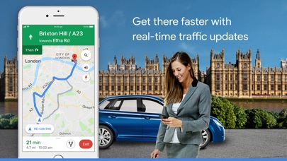
Get there faster with real-time updates
• Beat traffic with real-time ETAs and traffic conditions
• Catch your bus, train or lift-share with real-time public transport info
• Save time with automatic rerouting based on live traffic, incidents and road closures
Discover places and explore like a local
• Discover local restaurants, events and activities that matter to you
• See what’s trending and new places that are opening in the areas you care about
• Decide more confidently with “Your match”, a number representing how likely you are to like a place
• Group planning made easy. Share a shortlist of options and vote in real time
• Create lists of your favourite places and share with friends
• Follow must-try places recommended by local experts, Google and publishers
More experiences on Google Maps
• Offline maps to search and navigate without an Internet connection
• Street View and indoor imagery for restaurants, shops, museums and more
• Indoor maps to quickly find your way inside big places like airports, shopping centres and stadiums
* Some features not available in all countries


