Globe Geography 3D
About Globe Geography 3D
Globe Geography 3D - is an interactive, annotated globe with over 100 original images that gives the user both a conceptual overview and the descriptive information on various topics, which are organized into different sections. Interactive visualizations on a physical sphere can be turned and viewed from all angles. A great aid to teachers for visualizing earth and space with their students. A must have for anyone who loves to discover the world.
The atlas is navigated by familiar trackpad gestures, pinching to zoom in and out on the maps, rotating your fingers on the screen will rotate the globe on a virtual 360 degree axis, and swiping your fingers on the device will move your view around the globe.
Many of the locations on the maps have clickable buildings, monuments, or natural wonders, and bring up information windows about the item you clicked.
Features:
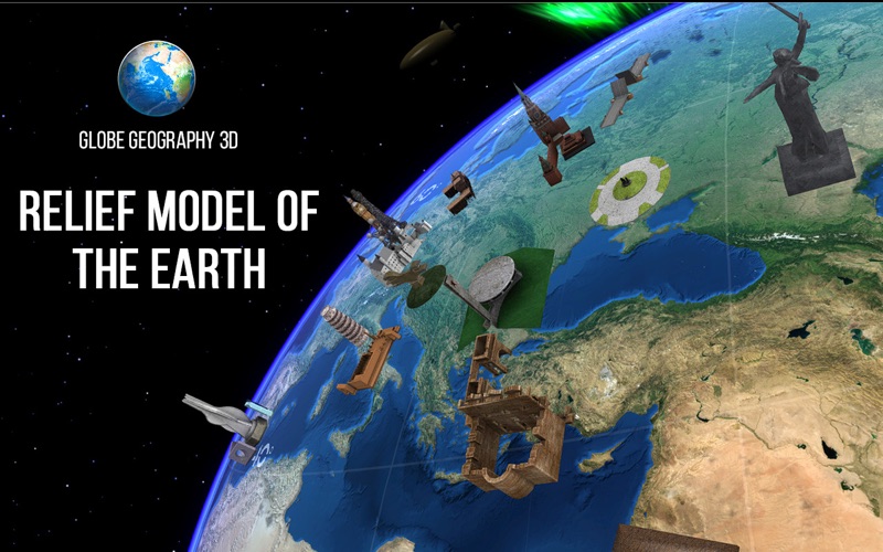
• Relief model of the Earth
• Randomized order of viewing images–especially helpful for taking quizzes and reviewing
• Handy navigational menu bar–linear and nonlinear access to any screen while also showing user’s current position in the large volume of content
• More than 500 geographic objects
• More than 100 wonders of the world
• Sky Map add-on
• Full description of any object or point on the surface
• 100x zoom
• Fast access to information
• Friendly multilanguage interface
• No Internet connection required


